
A New View on Construction
Artificial intelligence and geospatial data are merging to redefine how construction projects are planned, monitored, and maintained. Google Earth AI, and the growing ecosystem of AI tools built around traditional Google Earth, are enabling faster, more informed decisions from concept to completion*.
1. Smarter Site Selection
In the past, site evaluation demanded weeks of collecting zoning maps, surveys, and demographic data. Google Earth AI compresses that work into minutes.
By combining satellite imagery, terrain models, and population datasets, Earth AI answers practical questions such as:
“Where can I build on high ground, close to utilities, and outside flood zones?”
Its generative design tools can even produce preliminary site layouts that meet zoning and sustainability criteria, complete with quick feasibility scores.
Meanwhile, teams using Google Earth with external AI tools, like TestFit or Hypar, can import site boundaries, run advanced design or market simulations, and re-visualize results in Earth. Together, these workflows accelerate early-stage decisions while improving accuracy.
2. Feasibility and Risk Awareness
Before investing, developers need a clear picture of technical and environmental risk. Google Earth AI integrates flood, wildfire, and surface-temperature models directly into the planning view. It estimates solar potential and carbon footprint, helping teams assess economic and ESG performance from the start.
External AI models go deeper, running detailed geotechnical, seismic, or drainage simulations in Earth Engine or specialized GIS platforms. Results can be overlaid in Google Earth for intuitive communication with investors, planners, or agencies.
The result is a faster path from idea to go/no-go backed by transparent, data-rich visuals.
3. Generative Design in Context
Architects can now sketch entire site concepts within Google Earth AI. After defining parcel limits and program parameters, the AI generates multiple 3D massings that respect height limits, setbacks, and land-use ratios. Each option is scored for efficiency, cost, and carbon impact.
Because these designs appear within Google Earth’s 3D terrain, teams immediately see how scale, shadow, and orientation affect the surroundings, bridging analysis and design in a single environment.
For detailed building design, firms still rely on specialized AI tools (TestFit, Hypar, Forma), then bring the refined models back into Earth for stakeholder visualization. The combination gives creative control plus geospatial realism.
4. Compliance and Environmental Insight
Regulatory delays often derail projects. Google Earth AI simplifies early compliance checks by displaying zoning, parcel, and environmental layers directly on the map. Users can click a parcel to view zoning codes, overlay tree-canopy or flood data, and confirm compatibility before formal submission.
Design teams can also test sustainability metrics, ensuring, for example, that roofs meet local solar mandates or parking areas meet heat-mitigation goals.
External GIS and simulation tools remain essential for certified Environmental Impact Assessments, but when paired with Google Earth for visualization, they turn complex compliance data into accessible, spatial insight.
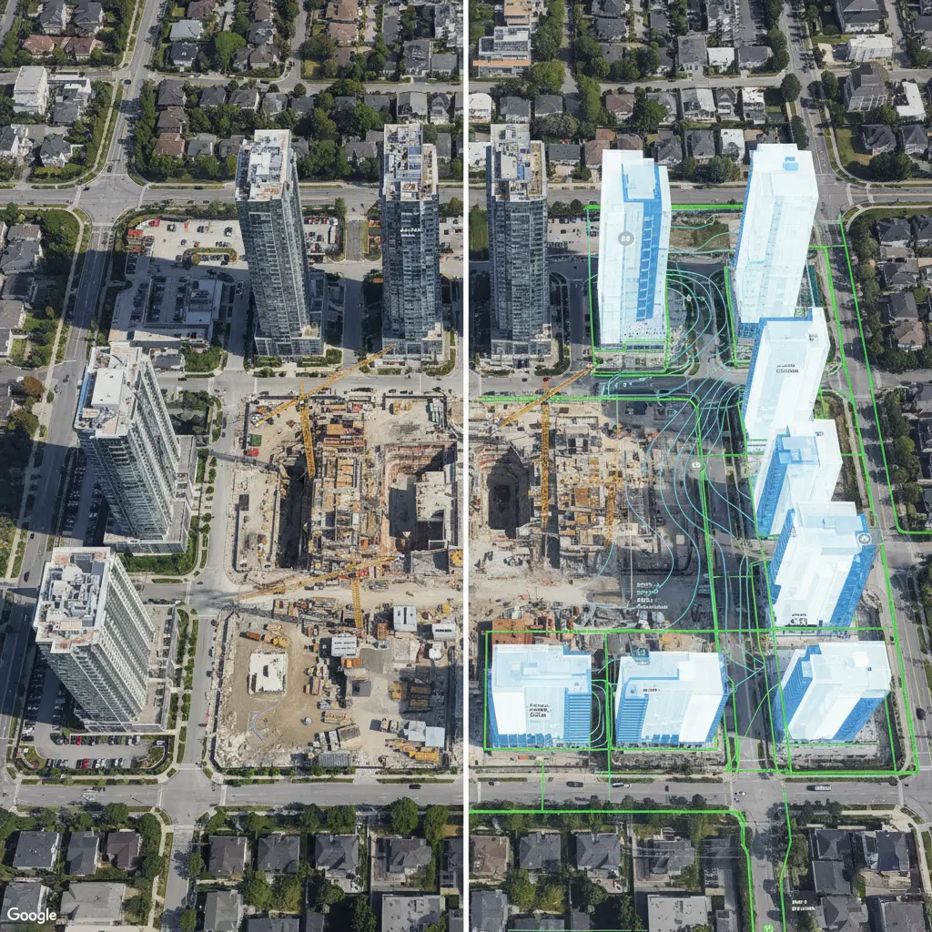
5. Monitoring the Build
Once construction begins, Google Earth AI supports macro-level monitoring. Change-detection algorithms highlight new activity visible in satellite imagery, while AI hazard models warn of nearby floods, wildfires, or storms, which are valuable for remote or large-scale sites.
For daily progress and safety, on-site AI tools dominate: drones and 360° cameras feed computer vision systems that measure completion, flag unsafe conditions, and compare as-builts with design. Google Earth becomes the executive dashboard, one map showing project status across multiple locations.
6. Quality, Progress, and Transparency
Periodic satellite updates through Earth provide independent confirmation that major works align with plans. AI can annotate visible progress, “structure topped out,” “paving complete”, creating a visual record for owners and investors.
External QA systems extend this precision with reality capture and AI-based model comparison, ensuring millimeter-level accuracy. When summarized on a Google Earth map, these findings give executives a clear view of progress and quality across portfolios.
7. Lifecycle and Asset Management
After completion, assets remain visible in Google Earth AI. Facility managers can query, “Which sites face increasing flood risk?” or “Which roofs show heat stress or vegetation growth?” The AI draws from satellite and Street View data to flag maintenance priorities.
Cities and infrastructure owners are already using Google’s geospatial AI to locate damaged roads, fading signage, or vegetation near power lines, demonstrating how visual data supports predictive maintenance.
When combined with IoT sensors and third-party analytics, Google Earth becomes a live, map-based dashboard for long-term performance and resilience.
From Map to Model: The Connected Workflow
Google Earth AI and external AI tools serve complementary roles:
- Google Earth AI provides a fast, integrated environment for planning, visualization, and communication.
- External AI platforms deliver domain-specific precision for design, construction management, and maintenance analytics.
Together, they create a continuous “digital thread” that connects geospatial intelligence, project design, field execution, and asset management.
For construction teams, that means decisions grounded in context, validated by data, and visible to everyone, from concept through decades of operation.
Next Steps
- Learn more about Volanti’s Digital Jobsite solutions
- Download the Report (pdf 3MB)
- Contact us
References
- Google Earth blog re Unlocking Geospatial Insights